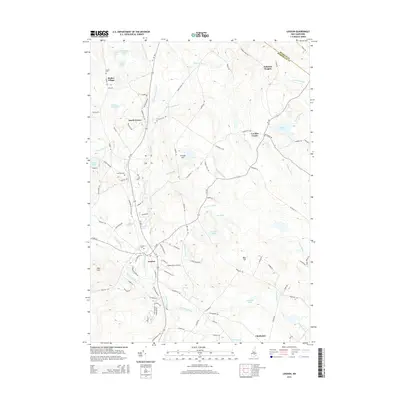
2015 Map of Loudon
USGS Topo · Published 2015About this map
Shaker Village and its neighboring Shaker Cem sit in the northwest corner of this landscape, marking a historic communal settlement area near the Shaker Ponds. The terrain is defined by the winding course of the Suncook River, which flows southward through Loudon and past Smalls Pond. To the east, the landscape rises toward Sabattus Heights and Bear Hill, while the southern reaches transition into the town of Chichester. The road network connects small crossroads like Pearls Corner and Loudon Center, illustrating the decentralized rural development of Merrimack County. Notable aviation history is preserved at Cooper Farm Airport, located east of the river. This survey captures a mix of longstanding agricultural heritage, evidenced by numerous named cemeteries like Lovering Cem, and modern infrastructure including RT-106 and RT-129.
Find a feature on this map
106 named features on this map. Tap any name to fly to it.
Don’t see what you’re looking for? This feature index may not catch every label — zoom into the map to look around manually.
Map Details
Editions of this 2015 Loudon Map
This is the sole edition of this map. No revisions or reprints were ever made.
Other maps of this area

1919 · Gilmanton
USGS Topo · 1:62,500

1921 · Suncook
USGS Topo · 1:62,500

1927 · Concord
USGS Topo · 1:62,500

1927 · Penacook
USGS Topo · 1:62,500

1927 · Gilmanton
USGS Topo · 1:62,500

1944 · Suncook
USGS Topo · 1:62,500

1949 · Portland
USGS Topo · 1:250,000

1949 · Concord
USGS Topo · 1:62,500

1956 · Penacook
USGS Topo · 1:62,500

1956 · Portland
USGS Topo · 1:250,000