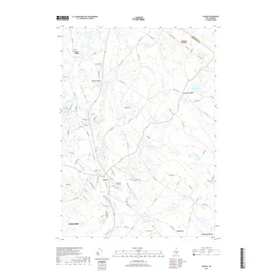
2018 Map of Loudon
USGS Topo · Published 2018About this map
Shaker Village anchors the northwest corner of this Merrimack County landscape, a site of deep communal history marked by Shaker Ponds and the nearby Shaker Cem. The terrain is defined by a dense network of brooks and small ponds, with the Soucook River flowing through the valley near the primary settlement of Loudon. Evidence of early industrial and agricultural foundations is found in place names like Carding Mill Pond and the numerous family-named roads such as Josiah Bartlett Rd and Mudgett Hill Rd. The map tracks the shift from traditional farming to modern infrastructure, seen in the proximity of Cooper Farm Airport to the established clusters at Loudon Center and Pearls Corner. Rising above the valley, peaks like Sabattus Heights and Clough Hill overlook a patchwork of wetlands including Hunting Swamp and Bog Pond.
Find a feature on this map
111 named features on this map. Tap any name to fly to it.
Don’t see what you’re looking for? This feature index may not catch every label — zoom into the map to look around manually.
Map Details
Editions of this 2018 Loudon Map
This is the sole edition of this map. No revisions or reprints were ever made.
Other maps of this area

1919 · Gilmanton
USGS Topo · 1:62,500

1921 · Suncook
USGS Topo · 1:62,500

1927 · Concord
USGS Topo · 1:62,500

1927 · Penacook
USGS Topo · 1:62,500

1927 · Gilmanton
USGS Topo · 1:62,500

1944 · Suncook
USGS Topo · 1:62,500

1949 · Portland
USGS Topo · 1:250,000

1949 · Concord
USGS Topo · 1:62,500

1956 · Penacook
USGS Topo · 1:62,500

1956 · Portland
USGS Topo · 1:250,000