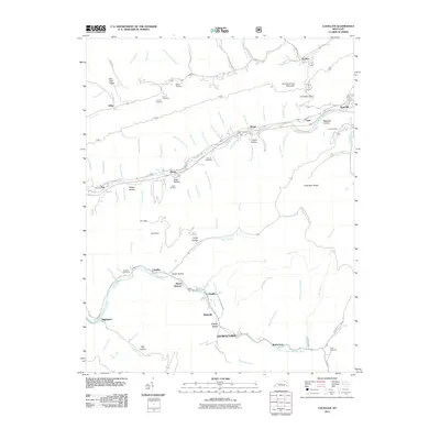
2011 Map of Louellen
USGS Topo · Published 2011About this map
The Poor Fork Cumberland River carves a deep valley through the high ridges of Harlan County, anchoring a series of small riverside communities like Louellen, Highsplint, and Black Bottom. This 2011 survey documents a landscape defined by its topography and the historical reach of coal mining and mountain commerce. While many of the larger settlements line the river valley, smaller hamlets like Gordon and Hiram are tucked along northern tributaries such as Line Fork and Judes Branch. Genealogical value is found in numerous family-named landmarks and resting places, including the Riddle Cemetery, Smith Cemetery, and Cornett Cemetery. High elevations dominate the north and south, from the broad ridge of Hurricane Gap Mountain to the southern reach of Black Mountain Ridge Rd, illustrating the geographical isolation that shaped these tight-knit Appalachian hollows.
Find a feature on this map
101 named features on this map. Tap any name to fly to it.
Don’t see what you’re looking for? This feature index may not catch every label — zoom into the map to look around manually.
Map Details
Editions of this 2011 Louellen Map
This is the sole edition of this map. No revisions or reprints were ever made.
Other maps of this area

1887 · Jonesville
USGS Topo · 1:125,000

1890 · Whitesburg
USGS Topo · 1:125,000

1891 · Hazard
USGS Topo · 1:125,000

1891 · Jonesville
USGS Topo · 1:125,000

1892 · Whitesburg
USGS Topo · 1:125,000

1894 · Estillville
USGS Topo · 1:125,000

1913 · Oven Fork
USGS Topo · 1:48,000

1915 · Whitesburg
USGS Topo · 1:62,500

1916 · Cornettsville
USGS Topo · 1:62,500

1916 · Nolansburg
USGS Topo · 1:48,000