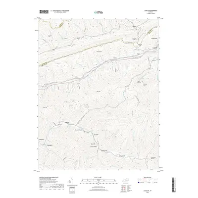
2019 Map of Louellen
USGS Topo · Published 2019About this map
Pine Mountain and Black Mtn dominate this section of the Kentucky coalfields, where settlements are tightly clustered along the narrow creek valleys. The drainage patterns of Line Fork and Poor Fork Cumberland River dictate the layout of communities like Louellen, Highsplint, and Closplint. These towns, often associated with the region's mining history, follow the winding topography of the Appalachians.
Find a feature on this map
115 named features on this map. Tap any name to fly to it.
Don’t see what you’re looking for? This feature index may not catch every label — zoom into the map to look around manually.
Map Details
Editions of this 2019 Louellen Map
This is the sole edition of this map. No revisions or reprints were ever made.
Other maps of this area

1887 · Jonesville
USGS Topo · 1:125,000

1890 · Whitesburg
USGS Topo · 1:125,000

1891 · Hazard
USGS Topo · 1:125,000

1891 · Jonesville
USGS Topo · 1:125,000

1892 · Whitesburg
USGS Topo · 1:125,000

1894 · Estillville
USGS Topo · 1:125,000

1913 · Oven Fork
USGS Topo · 1:48,000

1915 · Whitesburg
USGS Topo · 1:62,500

1916 · Cornettsville
USGS Topo · 1:62,500

1916 · Nolansburg
USGS Topo · 1:48,000