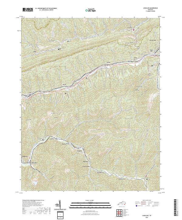
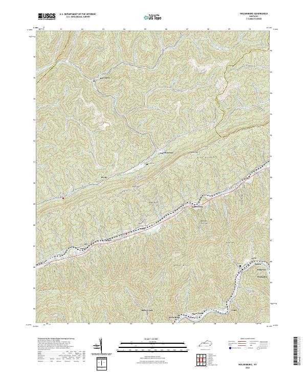
2022 Map of Louellen
USGS Topo · Published 2022About this map
Pine Mountain and the high ridges of Black Mtn dominate this portion of the Cumberland Plateau, where the headwaters of the Cumberland River and Line Fork carve deep valleys through the Kentucky coalfields. This 2022 survey captures the distinct settlement pattern of the region, where communities like Louellen, Closplint, and Highsplint are strung along narrow valley floors following the Clover Fork Cumberland River. The geography of the Harlan and Letcher county line is defined by dramatic topographic breaks such as Hurricane Gap and Sourwood Gap. Genealogists and local historians will find numerous family landmarks preserved on the landscape, including the Robbins Cem, Cornett Cem, and Kelly Cem, alongside the remote route of the Little Shepherd Trl traversing the crest of the mountains.
Find a feature on this map
120 named features on this map. Tap any name to fly to it.
Don’t see what you’re looking for? This feature index may not catch every label — zoom into the map to look around manually.
Map Details
Editions of this 2022 Louellen Map
This is the sole edition of this map. No revisions or reprints were ever made.
Historical Maps of Rutherford Through Time
10 maps found

1916 Nolansburg
Harlan County, KY
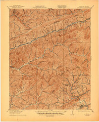
1919 Nolansburg
Harlan County, KY
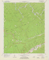
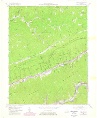
1954 Bledsoe
Harlan County, KY
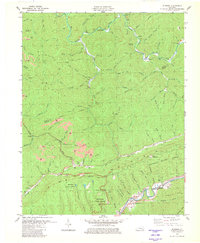
1954 Louellen
Harlan County, KY
1954 Nolansburg
Harlan County, KY

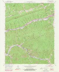
1977 Middlesboro
Harlan County, KY
1980 Bledsoe
Harlan County, KY
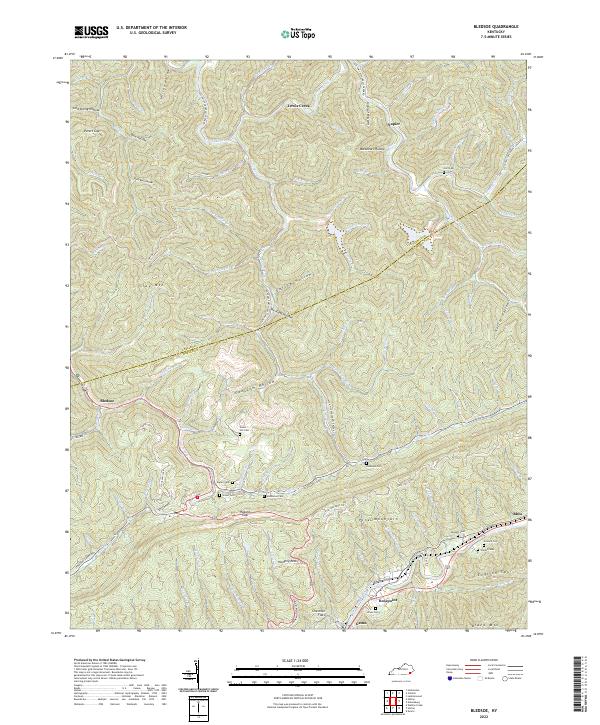
2022 Bledsoe
Harlan County, KY
2022 Louellen
Harlan County, KY
2022 Nolansburg
Harlan County, KY