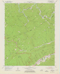
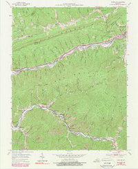
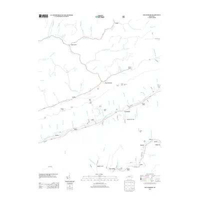
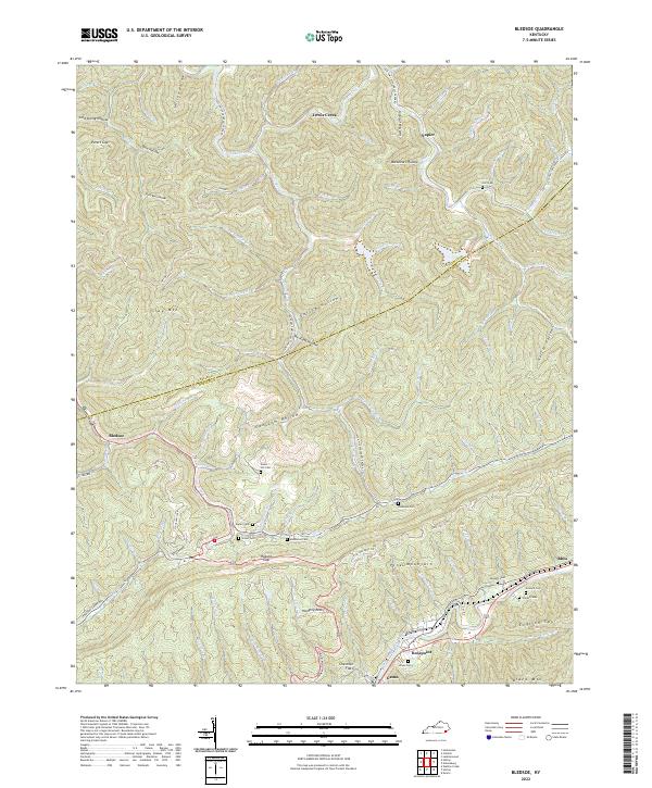
1954 Map of Bledsoe
USGS Topo · Published 1976About this map
Pine Mountain dominates the center of this 1950s terrain, forming a steep ridge that separates the waters of Greasy Creek to the north from the Cumberland River valley to the south. Along the southern slopes, the Louisville and Nashville railroad follows the river through Rosspoint and Gatun, serving the coal-producing region. This map illustrates a landscape of scattered community centers, with numerous small schools and churches like Green Hill Sch and Abner Branch Chapel serving residents in the hollows and along the ridges. The presence of the Kentenia State Forest highlights the managed timberlands of the era, while the Harlan Airport near Rhea shows the mid-century infrastructure supporting this part of Harlan County. For genealogists, the map is particularly detailed, locating family-named landmarks and several burying grounds including Hull Cem and Wilder Cem.
Find a feature on this map
114 named features on this map. Tap any name to fly to it.
Don’t see what you’re looking for? This feature index may not catch every label — zoom into the map to look around manually.
Map Details
Editions of this 1954 Bledsoe Map
3 editions found
Historical Maps of Lewis Creek Through Time
22 maps found

1916 Nolansburg
Harlan County, KY
1919 Nolansburg
Harlan County, KY
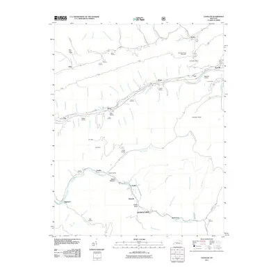
1954 Bledsoe
Harlan County, KY
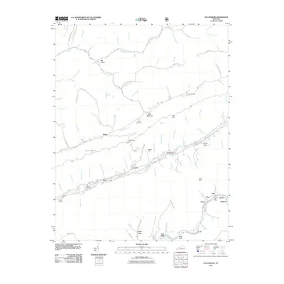
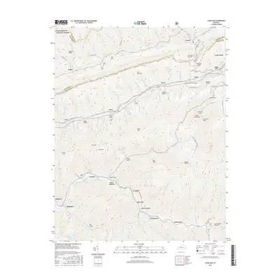
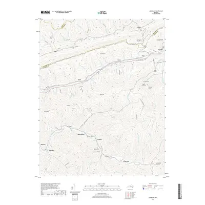
1954 Louellen
Harlan County, KY
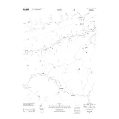
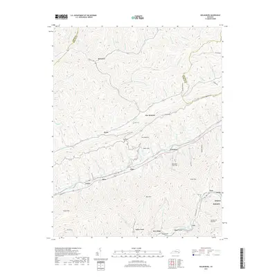
1954 Nolansburg
Harlan County, KY

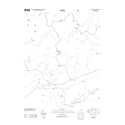
1977 Middlesboro
Harlan County, KY
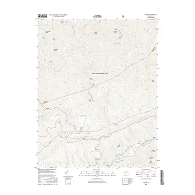
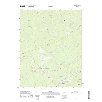
1980 Bledsoe
Harlan County, KY
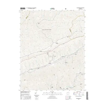
2011 Bledsoe
Harlan County, KY
2011 Louellen
Harlan County, KY
2011 Nolansburg
Harlan County, KY
2013 Bledsoe
Harlan County, KY
2013 Louellen
Harlan County, KY
2013 Nolansburg
Harlan County, KY
2016 Bledsoe
Harlan County, KY
2016 Louellen
Harlan County, KY
2016 Nolansburg
Harlan County, KY
2019 Bledsoe
Harlan County, KY
2019 Louellen
Harlan County, KY
2019 Nolansburg
Harlan County, KY
2022 Bledsoe
Harlan County, KY
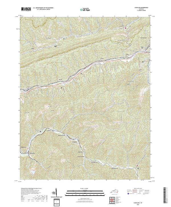
2022 Louellen
Harlan County, KY
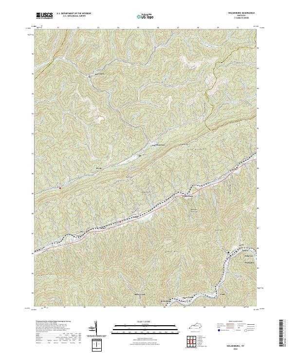
2022 Nolansburg
Harlan County, KY