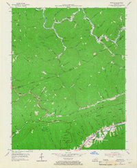
1954 Map of Bledsoe
USGS Topo · Published 1967About this map
Pine Mountain dominates the landscape of this mid-century survey, dividing the drainage of Greasy Creek to the north from the valley of the Poor Fork Cumberland River to the south. The settlement pattern reveals the classic Appalachian hollow community, with small family and coal-related landmarks such as Middleton and Bledsoe clustered along the limited flatland near the water. For genealogists, the map is a dense record of family-named landmarks including Napier Cem, Sargent Cem, and Wilder Cem, alongside the local centers of life at Green Hill Sch and Cedar Chapel. Industrial activity is evident in the presence of an Oil Well and a Strip Mine, while the southern corridor is defined by the Louisville and Nashville rail line. Vast reaches of the Kentenia State Forest encompass the high ridges, preserving the steep, timbered character of Harlan and Leslie counties.
Find a feature on this map
114 named features on this map. Tap any name to fly to it.
Don’t see what you’re looking for? This feature index may not catch every label — zoom into the map to look around manually.
Map Details
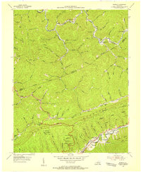
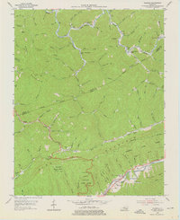
Editions of this 1954 Bledsoe Map
3 editions found
Other maps of this area

1887 · Jonesville
USGS Topo · 1:125,000

1891 · Hazard
USGS Topo · 1:125,000

1891 · Jonesville
USGS Topo · 1:125,000

1903 · Harlan
USGS Topo · 1:48,000

1916 · Cornettsville
USGS Topo · 1:62,500

1916 · Harlan
USGS Topo · 1:48,000

1916 · Nolansburg
USGS Topo · 1:48,000

1916 · Hyden
USGS Topo · 1:48,000

1919 · Nolansburg
USGS Topo · 1:62,500

1919 · Hyden
USGS Topo · 1:62,500