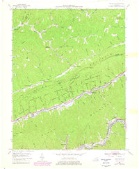
1954 Map of Nolansburg
USGS Topo · Published 1978About this map
Kentenia State Forest anchors the center of this terrain, where steep ridges and deep branches define the eastern Kentucky coalfields. The Louisville & Nashville RR follows the narrow corridor of the Poor Fork of the Cumberland River, serving a string of closely spaced mountain communities and industrial sites. Settlement clusters like Nolansburg (Splint PO), Gano (Lejunior PO), and Highsplint reveal the intensive land use required to navigate the area's geography. Evidence of regional industry and infrastructure is visible in the Strip Mine near Big Laurel and the Lookout Tower on Pine Mountain. Local genealogy and social history are preserved in names such as Creech Chapel, Nolan Cem, and the Little Laurel Community Ch, providing a detailed look at the rural landscape before late 20th-century developments.
Find a feature on this map
115 named features on this map. Tap any name to fly to it.
Don’t see what you’re looking for? This feature index may not catch every label — zoom into the map to look around manually.
Map Details
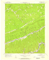
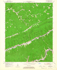
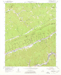
Editions of this 1954 Nolansburg Map
4 editions found
Other maps of this area

1887 · Jonesville
USGS Topo · 1:125,000

1891 · Hazard
USGS Topo · 1:125,000

1891 · Jonesville
USGS Topo · 1:125,000

1903 · Harlan
USGS Topo · 1:48,000

1916 · Cornettsville
USGS Topo · 1:62,500

1916 · Harlan
USGS Topo · 1:48,000

1916 · Nolansburg
USGS Topo · 1:48,000

1916 · Hyden
USGS Topo · 1:48,000

1919 · Nolansburg
USGS Topo · 1:62,500

1919 · Hyden
USGS Topo · 1:62,500