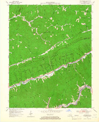
1954 Map of Nolansburg
USGS Topo · Published 1966About this map
The Cumberland River and its Poor Fork define the industrial and social corridor of this mid-century Harlan County landscape. The Louisville and Nashville line tracks the river valley, serving a string of coal-country settlements including Nolansburg (Splint PO), Laden, Dillon, and Shields. On the southern edge of the sheet, Clover Fork hosts concentrated development at Highsplint, Ridgeway, and Gano (Lejunior PO).
Find a feature on this map
87 named features on this map. Tap any name to fly to it.
Don’t see what you’re looking for? This feature index may not catch every label — zoom into the map to look around manually.
Map Details
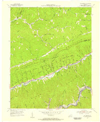
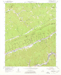
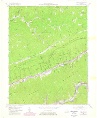
Editions of this 1954 Nolansburg Map
4 editions found
Other maps of this area

1887 · Jonesville
USGS Topo · 1:125,000

1891 · Hazard
USGS Topo · 1:125,000

1891 · Jonesville
USGS Topo · 1:125,000

1903 · Harlan
USGS Topo · 1:48,000

1916 · Cornettsville
USGS Topo · 1:62,500

1916 · Harlan
USGS Topo · 1:48,000

1916 · Nolansburg
USGS Topo · 1:48,000

1916 · Hyden
USGS Topo · 1:48,000

1919 · Nolansburg
USGS Topo · 1:62,500

1919 · Hyden
USGS Topo · 1:62,500