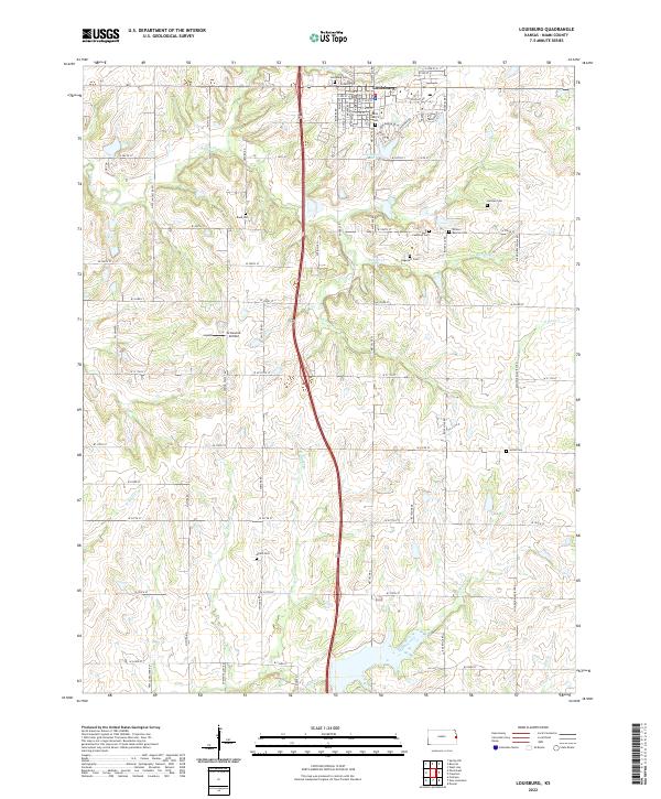
2022 Map of Louisburg
USGS Topo · Published 2022About this map
The town of Louisburg serves as the central hub of this eastern Kansas landscape, situated at a crossroads of section-line roads and local thoroughfares like W Amity St and S Broadway St. The area's settlement history is exceptionally visible through its numerous burial grounds, ranging from the central Saint Mary's Cem and Louisburg Cem to smaller family sites such as Herman Cem, Cashman Cem, and Dagenett Cem. These sites, scattered across the township lines of t16s r24e and t17s r25e, provide a clear geographic record of the community's ancestral roots.
Find a feature on this map
71 named features on this map. Tap any name to fly to it.
Don’t see what you’re looking for? This feature index may not catch every label — zoom into the map to look around manually.
Map Details
Editions of this 2022 Louisburg Map
This is the sole edition of this map. No revisions or reprints were ever made.
Other maps of this area

1887 · Olathe
USGS Topo · 1:125,000

1887 · Mound City
USGS Topo · 1:125,000

1893 · Mound City
USGS Topo · 1:125,000

1893 · Olathe
USGS Topo · 1:125,000

1947 · Lawrence
USGS Topo · 1:250,000

1950 · Lawrence
USGS Topo · 1:250,000

1953 · Freeman
USGS Topo · 1:24,000

1953 · West Line
USGS Topo · 1:24,000

1956 · Bucyrus
USGS Topo · 1:24,000

1956 · Paola East
USGS Topo · 1:24,000