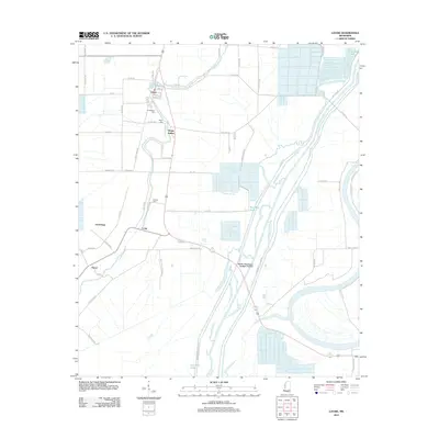
2012 Map of Louise
USGS Topo · Published 2012About this map
The town of Louise serves as the focal point of this Delta landscape, where a grid of rural roads and water management channels defines the region's agricultural character. This survey illustrates a complex hydrological system designed for the flat Mississippi floodplain, dominated by the massive Will M. Whittington Auxiliary Channel and its associated levees, including Whittington E Levee Rd. Historically significant sites for genealogists are scattered across the terrain, including Huddleston Cem, Balup Cem, and Goshen Cem. The map also documents smaller named settlements such as Sleepy Hollow, Anchorage, and Potosi, which sit alongside natural water features like Silver Cr and Goshen Bayou. The land is segmented by an extensive network of farm-to-market roads like Good Luck Rd and Reids Rd, reflecting the late 20th-century development of the Humphreys County countryside.
Find a feature on this map
64 named features on this map. Tap any name to fly to it.
Don’t see what you’re looking for? This feature index may not catch every label — zoom into the map to look around manually.
Map Details
Editions of this 2012 Louise Map
This is the sole edition of this map. No revisions or reprints were ever made.
Other maps of this area

1940 · Auter
USGS Topo · 1:62,500

1940 · Mileston
USGS Topo · 1:62,500

1953 · Greenwood
USGS Topo · 1:250,000

1954 · Mileston
USGS Topo · 1:62,500

1955 · Jackson
USGS Topo · 1:250,000

1956 · Greenwood
USGS Topo · 1:250,000

1961 · Jackson
USGS Topo · 1:250,000

1961 · Bayland
USGS Topo · 1:62,500

1961 · Valley
USGS Topo · 1:62,500

1962 · Jackson
USGS Topo · 1:250,000