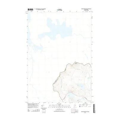
2014 Map of Louise Mountain
USGS Topo · Published 2014About this map
Louise Mountain anchors the high ground of the international border in Franklin Co, marking a transition between the northern woods of Maine and the province of Quebec. This 2014 survey documents a landscape defined by its remote hydrography, where Horseshoe Stream feeds into a series of isolated water bodies like Horseshoe Pond and Crosby Pond. The lack of dense development is contrasted by a network of specialized access routes, including La Croix Rd and the significant The Arnold Trl, which suggests historical passage through this frontier terrain.
Find a feature on this map
14 named features on this map. Tap any name to fly to it.
Don’t see what you’re looking for? This feature index may not catch every label — zoom into the map to look around manually.
Map Details
Editions of this 2014 Louise Mountain Map
This is the sole edition of this map. No revisions or reprints were ever made.
Other maps of this area

1928 · Chain Lakes
USGS Topo · 1:48,000

1928 · Skinner
USGS Topo · 1:48,000

1931 · Skinner
USGS Topo · 1:62,500

1932 · Arnold Pond
USGS Topo · 1:48,000

1932 · Chain Lakes
USGS Topo · 1:62,500

1935 · Chain Lakes
USGS Topo · 1:62,500

1935 · Arnold Pond
USGS Topo · 1:62,500

1949 · Jackman
USGS Topo · 1:250,000
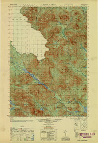
1951 · Chain Lakes
USGS Topo · 1:50,000

1963 · Jackman
USGS Topo · 1:250,000