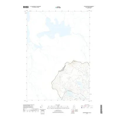
2018 Map of Louise Mountain
USGS Topo · Published 2018About this map
Louise Mtn dominates the high ground in this 2018 survey, marking a significant portion of the international border between the United States and Canada. This remote landscape in Maine's Franklin County is defined by its complex hydrology and dense wetlands, where waters transition through Upper Hathan Bog and Lower Hathan Bog. The map details a network of unpaved access points such as La Croix Rd and Big Island Rd that navigate the varied terrain around Arnold Pond and Mud Pond. The area is notably sparse of permanent structures, instead highlighting the natural drainage patterns of Horseshoe Stream and the isolated position of Crosby Pond, reflecting a modern record of this protected wilderness corridor.
Find a feature on this map
14 named features on this map. Tap any name to fly to it.
Don’t see what you’re looking for? This feature index may not catch every label — zoom into the map to look around manually.
Map Details
Editions of this 2018 Louise Mountain Map
This is the sole edition of this map. No revisions or reprints were ever made.
Other maps of this area

1928 · Chain Lakes
USGS Topo · 1:48,000

1928 · Skinner
USGS Topo · 1:48,000

1931 · Skinner
USGS Topo · 1:62,500

1932 · Arnold Pond
USGS Topo · 1:48,000

1932 · Chain Lakes
USGS Topo · 1:62,500

1935 · Chain Lakes
USGS Topo · 1:62,500

1935 · Arnold Pond
USGS Topo · 1:62,500

1949 · Jackman
USGS Topo · 1:250,000
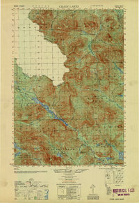
1951 · Chain Lakes
USGS Topo · 1:50,000

1963 · Jackman
USGS Topo · 1:250,000