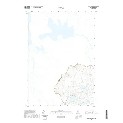
2021 Map of Louise Mountain
USGS Topo · Published 2021About this map
The international boundary between Canada and the United States cuts through this high-elevation landscape of Franklin County, Maine, and Le Granit, Quebec. This mountainous borderland is anchored by the summit of Louise Mtn, which overlooks a remote network of alpine bogs and glacial ponds. Notable hydrological features include the sprawling Upper Nathan Bog and Lower Nathan Bog, which sit adjacent to Crosby Pond and Horseshoe Pond.
Find a feature on this map
15 named features on this map. Tap any name to fly to it.
Don’t see what you’re looking for? This feature index may not catch every label — zoom into the map to look around manually.
Map Details
Editions of this 2021 Louise Mountain Map
This is the sole edition of this map. No revisions or reprints were ever made.
Other maps of this area

1928 · Chain Lakes
USGS Topo · 1:48,000

1928 · Skinner
USGS Topo · 1:48,000

1931 · Skinner
USGS Topo · 1:62,500

1932 · Arnold Pond
USGS Topo · 1:48,000

1932 · Chain Lakes
USGS Topo · 1:62,500

1935 · Chain Lakes
USGS Topo · 1:62,500

1935 · Arnold Pond
USGS Topo · 1:62,500

1949 · Jackman
USGS Topo · 1:250,000
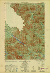
1951 · Chain Lakes
USGS Topo · 1:50,000

1963 · Jackman
USGS Topo · 1:250,000