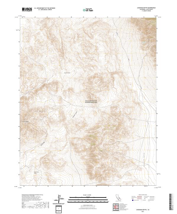
2021 Map of Louisiana Butte
USGS Topo · Published 2021About this map
Louisiana Butte rises as a prominent landmark where the Coso Range and Argus Range meet in the northern reaches of the Mojave Desert. This 2021 survey documents a landscape defined by deep drainages and high plateaus, including the expansive Wild Horse Mesa and the secluded Etcharren Valley. The presence of Petroglyph Canyon and Renegade Canyon suggests a terrain shaped by ancient geological processes, providing a contemporary view of these named geographic features in Inyo County.
Find a feature on this map
15 named features on this map. Tap any name to fly to it.
Don’t see what you’re looking for? This feature index may not catch every label — zoom into the map to look around manually.
Map Details
Editions of this 2021 Louisiana Butte Map
This is the sole edition of this map. No revisions or reprints were ever made.
Other maps of this area

1908 · Ballarat
USGS Topo · 1:250,000

1913 · Ballarat
USGS Topo · 1:250,000

1915 · Searles Lake
USGS Topo · 1:250,000

1947 · Trona
USGS Topo · 1:250,000

1948 · Trona
USGS Topo · 1:250,000

1948 · Death Valley
USGS Topo · 1:250,000

1949 · Trona
USGS Topo · 1:62,500

1950 · Trona
USGS Topo · 1:62,500

1951 · Maturango Peak
USGS Topo · 1:62,500

1951 · Coso Peak
USGS Topo · 1:62,500