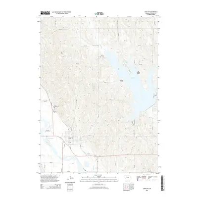
2014 Map of Loup City
USGS Topo · Published 2014About this map
Loup City sits as the central hub of this Sherman County landscape, positioned near the confluence where Dead Horse Cr and Canal Number 4 meet the wider valley of the Middle Loup River. The area’s water management and recreation are dominated by the sprawling Sherman Reservoir, which features named points of interest such as Shaughnessy Bay, Muddy Point, and Big Thunder Island. North of the city, the land is etched by a series of north-south canyons and drainages, including Oak Cr, which is crossed by the local landmark Fishermans Bridge. Local history is anchored by long-standing sites like Saint Josephats Cem and Evergreen Cem, while the Loup City Municipal Airport and Bowman Lake mark the western edge of the community. The grid of country roads, such as 796th RD and 790th RD, provides a clear view of the rural section-line development surrounding the township.
Find a feature on this map
43 named features on this map. Tap any name to fly to it.
Don’t see what you’re looking for? This feature index may not catch every label — zoom into the map to look around manually.
Map Details
Editions of this 2014 Loup City Map
This is the sole edition of this map. No revisions or reprints were ever made.
Other maps of this area

1899 · Loup
USGS Topo · 1:125,000

1951 · Arcadia SE
USGS Topo · 1:24,000

1951 · Litchfield NE
USGS Topo · 1:24,000

1951 · Arcadia East
USGS Topo · 1:24,000

1953 · Loup City NW
USGS Topo · 1:24,000

1953 · North Loup
USGS Topo · 1:24,000

1953 · Ravenna NW
USGS Topo · 1:24,000

1953 · Loup City SE
USGS Topo · 1:24,000

1953 · Loup City
USGS Topo · 1:24,000

1953 · Ashton
USGS Topo · 1:24,000