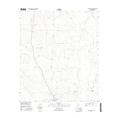
2016 Map of Lovelady North
USGS Topo · Published 2016About this map
The town of Lovelady serves as the southern anchor for this Houston County survey, where the street grid around Commerce St and Nelms St transitions into a network of rural county roads. The landscape is defined by the dendritic drainage patterns of Hartts Cr and Box Cr, which feed into the area's agricultural and timber lands. This territory is marked by small, scattered settlements such as Cut in the west and Smith Grove in the southeast, reflecting a traditional Texan settlement pattern where community life centered on crossroads and family burial grounds.
Find a feature on this map
50 named features on this map. Tap any name to fly to it.
Don’t see what you’re looking for? This feature index may not catch every label — zoom into the map to look around manually.
Map Details
Editions of this 2016 Lovelady North Map
This is the sole edition of this map. No revisions or reprints were ever made.
Other maps of this area

1950 · Crockett
USGS Topo · 1:24,000

1951 · Crockett
USGS Topo · 1:24,000

1951 · Berea
USGS Topo · 1:24,000

1953 · Palestine
USGS Topo · 1:250,000

1957 · Palestine
USGS Topo · 1:250,000

1962 · Lovelady South
USGS Topo · 1:24,000

1962 · Glendale
USGS Topo · 1:24,000

1963 · Lovelady North
USGS Topo · 1:24,000
1963 · Fodice
USGS Topo · 1:24,000

1964 · Porter Springs
USGS Topo · 1:24,000