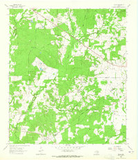
1963 Map of Fodice
USGS Topo · Published 1965About this map
The Davy Crockett National Forest dominates much of this landscape, where the wooded terrain is interspersed with small agricultural clearings and family-founded communities. Located along the Houston and Trinity County line, this 1963 survey shows the rural character of the area before modern development altered the density of its settlements. Small crossroads like Fodice and Shady Grove serve as local hubs, characterized by a high concentration of country churches including Mt Pleasant Ch and Thankful Ch. The mapping of cemetery sites such as Fodice Cem and Foster Cem provides essential spatial data for genealogical research. Waterways like White Rock Creek and Tanyard Creek define the natural drainage of the region, while the Ridgeway indicates a distinct geological feature amidst the timberlands.
Find a feature on this map
31 named features on this map. Tap any name to fly to it.
Don’t see what you’re looking for? This feature index may not catch every label — zoom into the map to look around manually.
Map Details
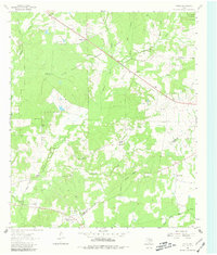
Editions of this 1963 Fodice Map
2 editions found
Other maps of this area

1950 · Crockett
USGS Topo · 1:24,000

1951 · Crockett
USGS Topo · 1:24,000

1951 · Kennard
USGS Topo · 1:24,000

1951 · Berea
USGS Topo · 1:24,000

1953 · Palestine
USGS Topo · 1:250,000

1957 · Palestine
USGS Topo · 1:250,000

1962 · Lovelady South
USGS Topo · 1:24,000

1962 · Glendale
USGS Topo · 1:24,000

1963 · Lovelady North
USGS Topo · 1:24,000

1963 · Groveton West
USGS Topo · 1:24,000