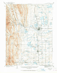
2022 Map of Loveland
USGS Topo · Published 2022About this map
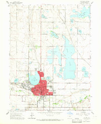
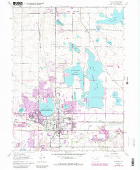
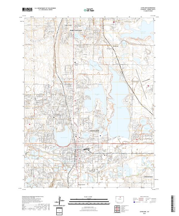
Loveland and the southern edge of Fort Collins are defined by a complex network of irrigation and water storage, essential to the Front Range landscape. This 2022 survey shows the extensive reach of the Big Thompson River and its accompanying infrastructure, including the Big Thompson Ditch Number 2, Farmers Ditch, and the Loveland and Greeley Canal. These waterways feed a series of major reservoirs such as Boyd Lake, Horseshoe Lake, and Fossil Creek Reservoir, which dominate the eastern half of the area.
Find a feature on this map
50 named features on this map. Tap any name to fly to it.
Don’t see what you’re looking for? This feature index may not catch every label — zoom into the map to look around manually.
Map Details
Editions of this 2022 Loveland Map
This is the sole edition of this map. No revisions or reprints were ever made.
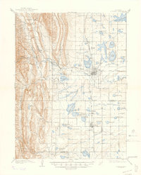
Historical Maps of Fort Collins Through Time
5 maps found