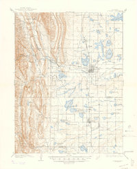
1908 Map of Loveland
USGS Topo · Published 1947About this map
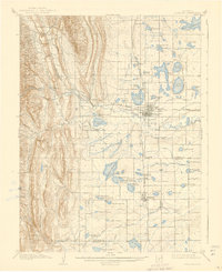
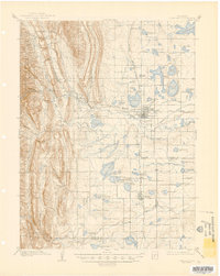
Loveland sits at the heart of an intricate water-management network at the dawn of the twentieth century, where the foothills of the Roosevelt National Forest meet the plains. The landscape is defined by an exhaustive system of ditches and reservoirs, reflecting the agricultural engineering required to sustain settlements like Berthoud and Campion. Prominent irrigation features such as Lonetree Reservoir, Boedecker Lake, and the Fossil Creek Reservoir dominate the eastern half of the sheet, tied together by the Colorado and Southern railroad line. To the west, the topography rises sharply toward Green Ridge and Flatiron Mtn, sheltering Chimney Hollow and Meadow Hollow. Industrial presence is noted by the Plaster Mill along the Arkins Branch, while smaller communities like Masonville serve as gateways to the more vertical terrain. This survey captures a pivotal moment when water diversion was fundamentally reshaping the Larimer County environment.
Find a feature on this map
60 named features on this map. Tap any name to fly to it.
Don’t see what you’re looking for? This feature index may not catch every label — zoom into the map to look around manually.
Map Details
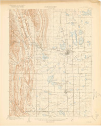
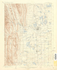
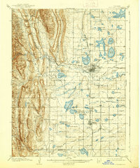
Editions of this 1908 Loveland Map
7 editions found
Other maps of this area

1902 · Greeley
USGS Topo · 1:125,000

1902 · Boulder
USGS Topo · 1:62,500

1904 · Niwot
USGS Topo · 1:62,500

1904 · Boulder
USGS Topo · 1:62,500

1905 · Mount Olympus
USGS Topo · 1:62,500

1906 · Loveland
USGS Topo · 1:62,500

1906 · Fort Collins
USGS Topo · 1:62,500

1907 · Mount Olympus
USGS Topo · 1:62,500

1907 · Livermore
USGS Topo · 1:125,000

1908 · Loveland
USGS Topo · 1:62,500