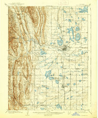
1908 Map of Loveland
USGS Topo · Published 1938About this map
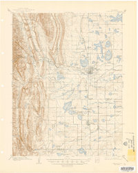
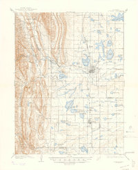
Agricultural development and extensive water management define this early 20th-century landscape at the foot of the Roosevelt National Forest. The growing settlement of Loveland serves as a hub for both the Colorado and Southern and the Great Western R R lines, which supported the region's burgeoning sugar beet and plaster industries. To the west, the terrain rises sharply toward Flatiron Mtn and Green Ridge, while the eastern plains are a complex grid of irrigation ditches and man-made basins. Notable industrial markers like the Plaster Mill near Arkins and the Filter Bed near Loveland Canyon highlight the infrastructure required for settlement. Water storage is ubiquitous, from the large Fossil Creek Reservoir to smaller basins like Cemetery Lake and Lonetree Reservoir, illustrating the massive engineering effort to harness the Big Thompson River for farming.
Find a feature on this map
80 named features on this map. Tap any name to fly to it.
Don’t see what you’re looking for? This feature index may not catch every label — zoom into the map to look around manually.
Map Details
Editions of this 1908 Loveland Map
7 editions found
Other maps of this area

1902 · Greeley
USGS Topo · 1:125,000

1902 · Boulder
USGS Topo · 1:62,500

1904 · Niwot
USGS Topo · 1:62,500

1904 · Boulder
USGS Topo · 1:62,500

1905 · Mount Olympus
USGS Topo · 1:62,500

1906 · Loveland
USGS Topo · 1:62,500

1906 · Fort Collins
USGS Topo · 1:62,500

1907 · Mount Olympus
USGS Topo · 1:62,500

1907 · Livermore
USGS Topo · 1:125,000

1908 · Loveland
USGS Topo · 1:62,500