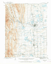
1906 Map of Loveland
USGS Topo · Published 1968About this map
The Big Thompson River cuts through this landscape where the high plains meet the eastern foothills, defining a region shaped by complex water management and early twentieth-century industry. The presence of the Plaster Mill near Arkins and the intensive network of irrigation works, including the Louden Ditch, Farmers Ditch, and South Side Ditch, illustrate the transition of the area into a productive agricultural hub. Major water bodies like Lake Loveland, Boyd Lakes, and the Fossil Creek Reservoir anchor the eastern plains, while the western edge is defined by the steep rises of Green Ridge and Flatiron Mtn. Transport and commerce are centered on the Colorado and Southern RR corridor, which connects the primary settlements of Loveland, Berthoud, and Campion, providing a detailed look at the rail-and-river economy of Larimer County at the turn of the century.
Find a feature on this map
83 named features on this map. Tap any name to fly to it.
Don’t see what you’re looking for? This feature index may not catch every label — zoom into the map to look around manually.
Map Details
Editions of this 1906 Loveland Map
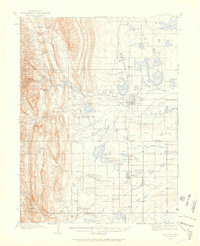
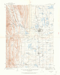
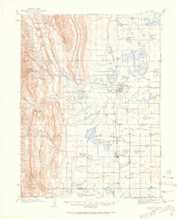
5 editions found
Other maps of this area

1902 · Greeley
USGS Topo · 1:125,000

1902 · Boulder
USGS Topo · 1:62,500

1904 · Niwot
USGS Topo · 1:62,500

1904 · Boulder
USGS Topo · 1:62,500

1905 · Mount Olympus
USGS Topo · 1:62,500

1906 · Loveland
USGS Topo · 1:62,500

1906 · Fort Collins
USGS Topo · 1:62,500

1907 · Mount Olympus
USGS Topo · 1:62,500

1907 · Livermore
USGS Topo · 1:125,000

1908 · Loveland
USGS Topo · 1:62,500