Loading...
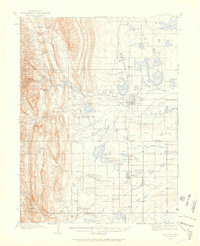
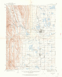
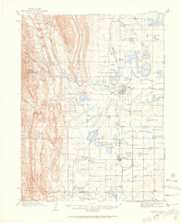
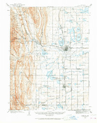
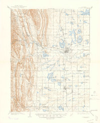
Loading map...1906 Map of Loveland
USGS Topo · Published 1959About this map
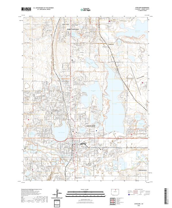
Agricultural development and water management define this early 20th-century landscape at the base of the Roosevelt National Forest. The city of Loveland serves as a hub where the Colorado and Southern and the Great Western R R intersect, supporting a complex network of irrigation ditches including the Greeley and Loveland Canal and the Big Thompson Ditch No 2.
Find a feature on this map
83 named features on this map. Tap any name to fly to it.
Don’t see what you’re looking for? This feature index may not catch every label — zoom into the map to look around manually.
Map Details
Date Portrayed1906
Date Published1959
PublisherU.S. Geological Survey
Map TypeTopographic
Scale1:62,500
Physical Dimensions17 x 21 inches
Editions of this 1906 Loveland Map
5 editions found

Historical Maps of Fort Collins Through Time
9 maps found
Featured Locations
Source Details
SourceU.S. Geological Survey
CopyrightPublic Domain