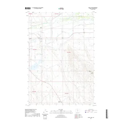
2017 Map of Lovell Lakes
USGS Topo · Published 2017About this map
The Shoshone River flows through the northern reaches of this landscape near Lovell, where a sophisticated network of irrigation infrastructure defines the valley's character. Significant waterworks including the Big Fork Canal, Sunlight Canal, and Lovell Canal weave across the terrain, illustrating the region's historical reliance on managed water systems for agriculture. To the south, the terrain rises toward the heights of Little Sheep Mtn, contrasting the developed river bottom with the more arid draws and mountainsides.
Find a feature on this map
38 named features on this map. Tap any name to fly to it.
Don’t see what you’re looking for? This feature index may not catch every label — zoom into the map to look around manually.
Map Details
Editions of this 2017 Lovell Lakes Map
This is the sole edition of this map. No revisions or reprints were ever made.
Other maps of this area

1955 · Cody
USGS Topo · 1:250,000

1958 · Cody
USGS Topo · 1:250,000

1962 · Cody
USGS Topo · 1:250,000

1964 · Kane
USGS Topo · 1:24,000

1964 · Lovell Lakes
USGS Topo · 1:24,000

1964 · Sykes Spring
USGS Topo · 1:24,000
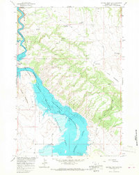
1964 · Natural Trap Cave
USGS Topo · 1:24,000

1966 · North Emblem Reservoir
USGS Topo · 1:24,000

1966 · Cowley
USGS Topo · 1:24,000

1966 · Jack Horner Reservoir
USGS Topo · 1:24,000