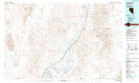
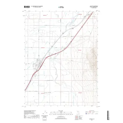
1935 Map of Lovelock
USGS Topo · Published 1935About this map
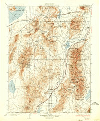
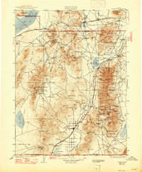
Lovelock serves as the central hub in this mid-1930s depiction of the high desert and mountain ranges of western Nevada. The landscape is defined by its extractive economy, with numerous mining operations such as the Nevada Massachusetts Tungsten Mine, Sulphur Mine, and Imlay Mine scattered through the ranges. Notable mining districts include Seven Troughs, where the clustered settlements of Mazuma, Tunnel Camp, and Vernon reflect the intensity of early 20th-century prospecting.
Find a feature on this map
154 named features on this map. Tap any name to fly to it.
Don’t see what you’re looking for? This feature index may not catch every label — zoom into the map to look around manually.
Map Details
Editions of this 1935 Lovelock Map
3 editions found

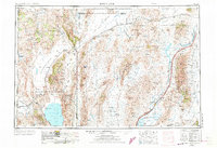
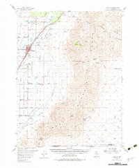
Historical Maps of Lovelock Through Time
11 maps found

1931 Lovelock
Pershing County, NV
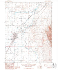
1935 Lovelock
Pershing County, NV
1955 Lovelock
Pershing County, NV
1956 Lovelock
Pershing County, NV

1959 Lovelock
Pershing County, NV
1984 Lovelock
Pershing County, NV
1987 Lovelock
Pershing County, NV
2011 Lovelock
Pershing County, NV
2014 Lovelock
Pershing County, NV
2018 Lovelock
Pershing County, NV
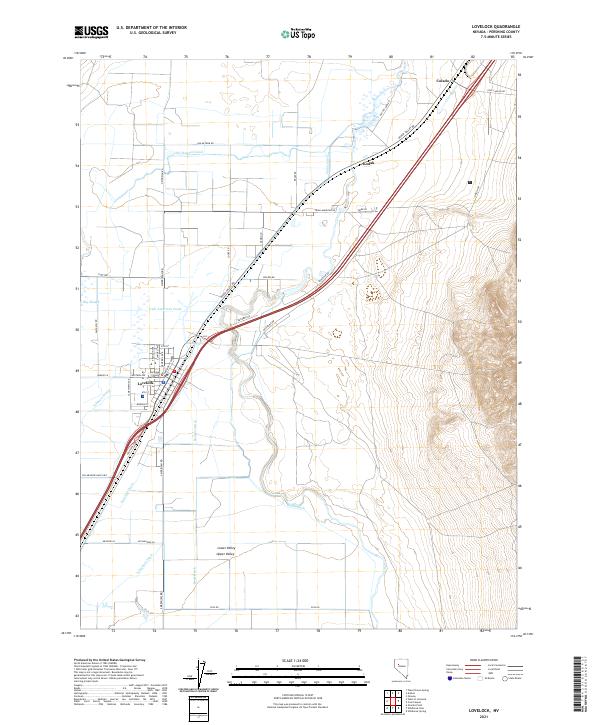
2021 Lovelock
Pershing County, NV