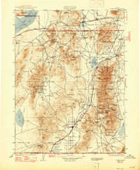
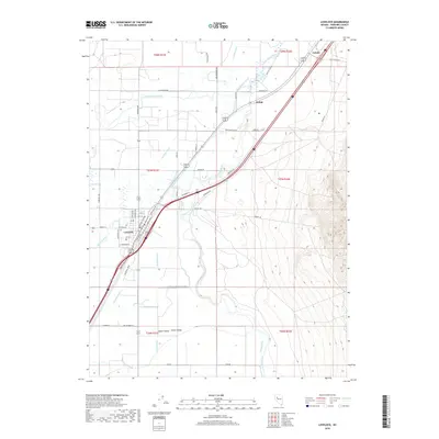
1935 Map of Lovelock
USGS Topo · Published 1947About this map
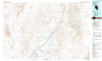
Lovelock serves as the central hub of this desert landscape, situated along the Southern Pacific railroad line in the mid-1930s. The map illustrates a region defined by extensive mining operations and isolated ranching outposts between the Granite Springs Valley and the Buena Vista valley. Notable industrial sites include the Sulphur Mine and the Nevada Massachusetts Tungsten Mine, alongside the Pershing Quicksilver Mine to the southeast. Educational centers like Upper Valley Sch and Lower Valley Sch provide a glimpse into the rural community structure of the time. The landscape is also marked by early transportation routes, including an Old Stage Road and an Airway Beacon, reflecting the transition from pioneer-era travel to modern aviation and rail networks.
Find a feature on this map
126 named features on this map. Tap any name to fly to it.
Don’t see what you’re looking for? This feature index may not catch every label — zoom into the map to look around manually.
Map Details
Editions of this 1935 Lovelock Map
3 editions found

Historical Maps of Lovelock Through Time
11 maps found

1931 Lovelock
Pershing County, NV
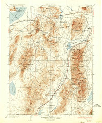
1935 Lovelock
Pershing County, NV
1955 Lovelock
Pershing County, NV
1956 Lovelock
Pershing County, NV

1959 Lovelock
Pershing County, NV
1984 Lovelock
Pershing County, NV
1987 Lovelock
Pershing County, NV
2011 Lovelock
Pershing County, NV
2014 Lovelock
Pershing County, NV
2018 Lovelock
Pershing County, NV
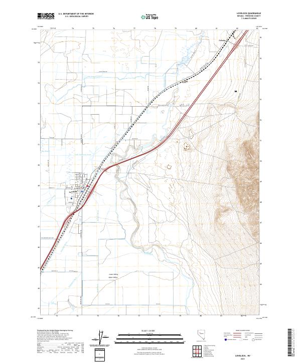
2021 Lovelock
Pershing County, NV