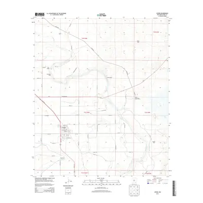
2013 Map of Loving
USGS Topo · Published 2013About this map
The town of Loving serves as the focal point for this survey of the high desert and riverine environment in Eddy County. The landscape is defined by the winding course of the Pecos River, which creates distinctive geographical features like Herradura Bend and Gyp Bend. Water management is central to the area's development, evidenced by the Southern Canal and Harroun Ditch, which cut through the arid terrain to support local agriculture and industry.
Find a feature on this map
65 named features on this map. Tap any name to fly to it.
Don’t see what you’re looking for? This feature index may not catch every label — zoom into the map to look around manually.
Map Details
Editions of this 2013 Loving Map
This is the sole edition of this map. No revisions or reprints were ever made.
Other maps of this area

1939 · Carlsbad
USGS Topo · 1:62,500

1939 · Nash Draw
USGS Topo · 1:62,500

1943 · Carlsbad
USGS Topo · 1:62,500

1943 · Nash Draw
USGS Topo · 1:62,500

1945 · Malaga
USGS Topo · 1:62,500

1946 · Malaga
USGS Topo · 1:62,500

1954 · Carlsbad
USGS Topo · 1:250,000

1954 · Hobbs
USGS Topo · 1:250,000

1958 · Carlsbad
USGS Topo · 1:250,000

1958 · Hobbs
USGS Topo · 1:250,000