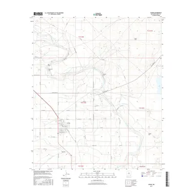
2017 Map of Loving
USGS Topo · Published 2017About this map
The Pecos River carves a winding path through this Eddy County landscape, defined by dramatic river geography such as Herradura Bend, Culebra Bluff, and Gyp Bend. The village of Loving serves as the primary hub, surrounded by a network of agricultural and industrial infrastructure including the Southern Canal and the Harroun Ditch. This era of development is marked by the presence of Potash Mines Rd, signaling the importance of the regional mineral industry.
Find a feature on this map
62 named features on this map. Tap any name to fly to it.
Don’t see what you’re looking for? This feature index may not catch every label — zoom into the map to look around manually.
Map Details
Editions of this 2017 Loving Map
This is the sole edition of this map. No revisions or reprints were ever made.
Other maps of this area

1939 · Carlsbad
USGS Topo · 1:62,500

1939 · Nash Draw
USGS Topo · 1:62,500

1943 · Carlsbad
USGS Topo · 1:62,500

1943 · Nash Draw
USGS Topo · 1:62,500

1945 · Malaga
USGS Topo · 1:62,500

1946 · Malaga
USGS Topo · 1:62,500

1954 · Carlsbad
USGS Topo · 1:250,000

1954 · Hobbs
USGS Topo · 1:250,000

1958 · Carlsbad
USGS Topo · 1:250,000

1958 · Hobbs
USGS Topo · 1:250,000