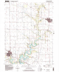
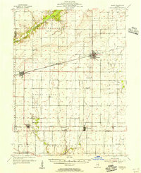
1999 Map of Lovington
USGS Topo · Published 2003About this map
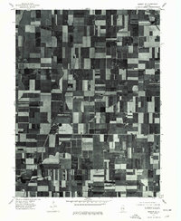
Lovington and Bethany anchor this agricultural landscape in Moultrie County, where the sprawling West Okaw River State Fish and Wildlife Management Area follows the meandering course of the West Okaw River. The geography is defined by small rural hubs and well-preserved family markers, including Hewitt Cem, Keller Cem, and Southers Cem. The presence of an Old RR Grade east of Lovington and several pumping stations indicates the area's transition from rail-dependent commerce to modern infrastructure.
Find a feature on this map
27 named features on this map. Tap any name to fly to it.
Don’t see what you’re looking for? This feature index may not catch every label — zoom into the map to look around manually.
Map Details
Editions of this 1999 Lovington Map
This is the sole edition of this map. No revisions or reprints were ever made.
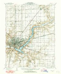
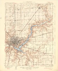
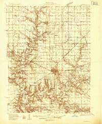
Other maps of this area
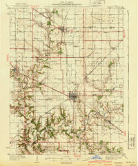
1929 · Decatur
USGS Topo · 1:62,500
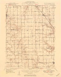
1933 · Decatur
USGS Topo · 1:62,500
1935 · Sullivan
USGS Topo · 1:48,000
1940 · Sullivan
USGS Topo · 1:62,500
1949 · Dalton City
USGS Topo · 1:62,500
1955 · Bement
USGS Topo · 1:62,500

1958 · Decatur
USGS Topo · 1:250,000

1961 · Decatur
USGS Topo · 1:250,000
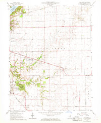
1967 · Long Creek
USGS Topo · 1:24,000
1975 · Bement SE
USGS Topo · 1:24,000