
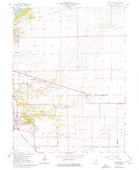
1967 Map of Long Creek
USGS Topo · Published 1968About this map
Lake Decatur and the Sangamon River anchor the northwest corner of this Macon County landscape, where the outskirts of Decatur give way to a dense network of rail lines and farming communities. In the late 1960s, this area was a busy junction of the Norfolk and Western, Baltimore and Ohio, and Pennsylvania railroads, which connected smaller elevators and depots at Long Creek, Casner, and Hervey City.
Find a feature on this map
32 named features on this map. Tap any name to fly to it.
Don’t see what you’re looking for? This feature index may not catch every label — zoom into the map to look around manually.
Map Details
Editions of this 1967 Long Creek Map
2 editions found
Other maps of this area

1929 · Decatur
USGS Topo · 1:62,500

1933 · Decatur
USGS Topo · 1:62,500

1935 · Sullivan
USGS Topo · 1:48,000

1940 · Sullivan
USGS Topo · 1:62,500

1949 · Dalton City
USGS Topo · 1:62,500

1955 · Bement
USGS Topo · 1:62,500

1958 · Decatur
USGS Topo · 1:250,000

1961 · Decatur
USGS Topo · 1:250,000
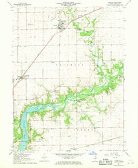
1967 · Argenta
USGS Topo · 1:24,000

1967 · Decatur
USGS Topo · 1:24,000