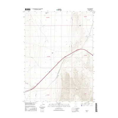
2017 Map of Low
USGS Topo · Published 2017About this map
Cedar Mountains dominate the southeastern landscape of this Tooele County region, rising sharply above the desert floor. The small settlement of Low serves as a focal point along the Western Pacific Railroad ACS, illustrating the vital role of rail transport in the West's more arid expanses. A network of service roads, including Frontage Rd and Low Rd, parallels the modern interstate corridor, while Aragonite Rd and Gravel Site Rd suggest local industrial and resource extraction activities typical of this high desert environment.
Find a feature on this map
16 named features on this map. Tap any name to fly to it.
Don’t see what you’re looking for? This feature index may not catch every label — zoom into the map to look around manually.
Map Details
Editions of this 2017 Low Map
This is the sole edition of this map. No revisions or reprints were ever made.
Other maps of this area

1885 · Tooele Valley
USGS Topo · 1:250,000

1953 · Tooele
USGS Topo · 1:250,000

1955 · Tooele
USGS Topo · 1:250,000

1968 · Craner Peak
USGS Topo · 1:24,000

1973 · Ripple Valley
USGS Topo · 1:24,000

1973 · Grassy Mountains
USGS Topo · 1:24,000

1973 · Delle
USGS Topo · 1:24,000

1973 · Hastings Pass NE
USGS Topo · 1:24,000

1973 · Low
USGS Topo · 1:24,000

1973 · Hastings Pass
USGS Topo · 1:24,000