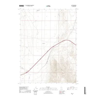
2020 Map of Low
USGS Topo · Published 2020About this map
The Western Pacific Railroad ACS cuts a sharp diagonal through this Tooele County landscape, passing the small settlement of Low. This high-desert region is defined by the broad expanse of Puddle Valley, which sits between the rising slopes of the Cedar Mountains to the south and the Puddle Valley Knolls to the north. The transit corridor is the primary focus of human activity here, where modern infrastructure like Frontage Rd and Low Rd follows the historical path of the rails across the basin. Researchers can trace the secondary road network, including Aragonite Rd and Gravel Site Rd, as it branches off toward the base of Skunk Ridge. The topography illustrates the stark transition from the flat valley floor to the steep, complex drainage systems of the surrounding mountain ranges.
Find a feature on this map
18 named features on this map. Tap any name to fly to it.
Don’t see what you’re looking for? This feature index may not catch every label — zoom into the map to look around manually.
Map Details
Editions of this 2020 Low Map
This is the sole edition of this map. No revisions or reprints were ever made.
Other maps of this area

1885 · Tooele Valley
USGS Topo · 1:250,000

1953 · Tooele
USGS Topo · 1:250,000

1955 · Tooele
USGS Topo · 1:250,000

1968 · Craner Peak
USGS Topo · 1:24,000

1973 · Ripple Valley
USGS Topo · 1:24,000

1973 · Grassy Mountains
USGS Topo · 1:24,000

1973 · Delle
USGS Topo · 1:24,000

1973 · Hastings Pass NE
USGS Topo · 1:24,000

1973 · Low
USGS Topo · 1:24,000

1973 · Hastings Pass
USGS Topo · 1:24,000