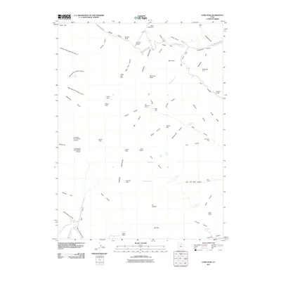
2011 Map of Lowe Peak
USGS Topo · Published 2011About this map
The Oquirrh Mountains form a high-altitude spine across this landscape, defining a region where the history of extraction and mountain transit converge. At the height of the range, industrial footprints remain visible through features like the Utah Metal Company Tunnel and the Old Mayflower Mine, which sit tucked into the canyons and hollows below the Butterfield Peaks. These sites indicate the intensive mining efforts that characterized the mineral-rich Oquirrh range during the late 19th and early 20th centuries.
Find a feature on this map
75 named features on this map. Tap any name to fly to it.
Don’t see what you’re looking for? This feature index may not catch every label — zoom into the map to look around manually.
Map Details
Editions of this 2011 Lowe Peak Map
This is the sole edition of this map. No revisions or reprints were ever made.
Other maps of this area

1885 · Tooele Valley
USGS Topo · 1:250,000

1915 · Fairfield
USGS Topo · 1:62,500

1917 · Fairfield
USGS Topo · 1:62,500

1918 · Stockton
USGS Topo · 1:62,500

1952 · Bingham Canyon
USGS Topo · 1:24,000
1952 · Lark
USGS Topo · 1:24,000

1953 · Tooele
USGS Topo · 1:250,000
1954 · Tickville Spring
USGS Topo · 1:24,000

1955 · Stockton
USGS Topo · 1:62,500

1955 · Tooele
USGS Topo · 1:250,000