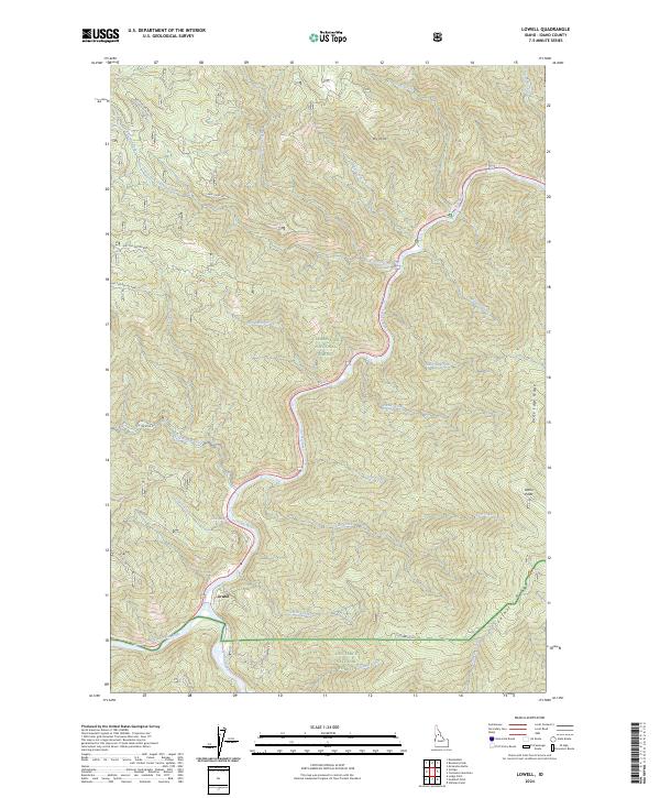
2024 Map of Lowell
USGS Topo · Published 2024About this map
Lowell marks the confluence where the Lochsa River and Selway River merge to form the Middle Fork Clearwater River, a vital water junction in the central Idaho wilderness. This 2024 map documents the intersection of the Clearwater National Forest and Nez Perce National Forest, showing a landscape defined by deep river canyons and prominent high ground such as Coolwater Ridge and Knife Edge Ridge. The mapping reveals the complex network of forest development roads, including the Cabin Creek Rd and Peter King Rd, which provide access to remote drainages like Pete King Creek and Canyon Creek. For local historians and geographers, the topographic detail identifies distinct landmarks like Icicle Spring and Dry Point, as well as the protected status of the Middle Fork Clearwater Wild and Scenic River.
Find a feature on this map
43 named features on this map. Tap any name to fly to it.
Don’t see what you’re looking for? This feature index may not catch every label — zoom into the map to look around manually.
Map Details
Editions of this 2024 Lowell Map
This is the sole edition of this map. No revisions or reprints were ever made.
Other maps of this area

1911 · Lolo
USGS Topo · 1:250,000

1913 · Lolo
USGS Topo · 1:250,000

1924 · Weippe
USGS Topo · 1:125,000

1956 · Hamilton
USGS Topo · 1:250,000

1959 · Hamilton
USGS Topo · 1:250,000

1960 · Hamilton
USGS Topo · 1:250,000

1964 · Hamilton
USGS Topo · 1:250,000

1966 · Lowell
USGS Topo · 1:24,000
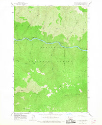
1966 · Stillman Point
USGS Topo · 1:24,000
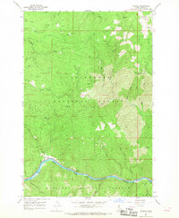
1966 · Syringa
USGS Topo · 1:24,000