2022 Map of Lowell
USGS Topo · Published 2022About this map
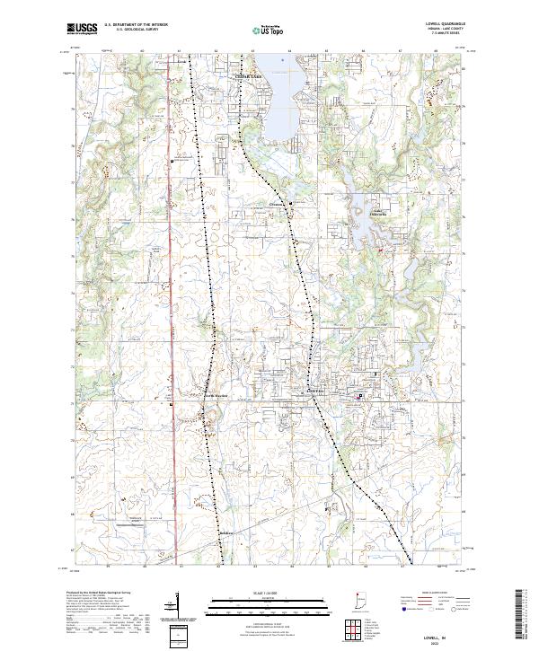
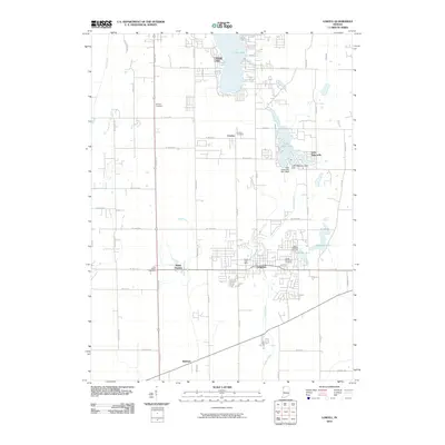
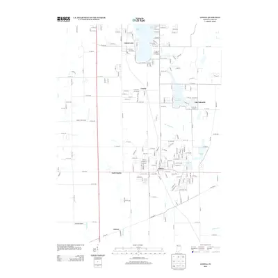
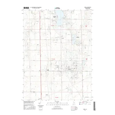
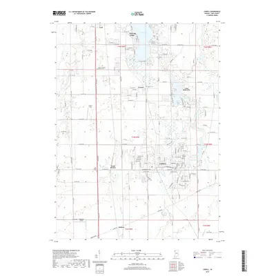
Lowell serves as the primary hub for this southern Lake County landscape, where the traditional grid of rural Indiana meets several distinct residential lake communities. The settlement of Cedar Lake dominates the northern portion of the quadrangle, while Lake Dalecarlia and the smaller Lake Bel-Aire provide evidence of more modern recreational development. Local history is deeply etched into the land through a series of significant burial grounds, including the German Methodist Episcopal Cem, Creston Cem, and Saint Edwards Cem in the heart of town.
Find a feature on this map
140 named features on this map. Tap any name to fly to it.
Don’t see what you’re looking for? This feature index may not catch every label — zoom into the map to look around manually.
Map Details
Editions of this 2022 Lowell Map
This is the sole edition of this map. No revisions or reprints were ever made.
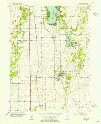
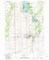
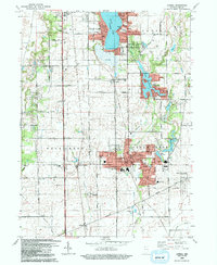
Historical Maps of Cedar Lake Through Time
8 maps found
Featured Locations
- Cedar Creek Township, IN
- West Creek Township, IN
- Cedar Lake, IN
- Center Township, IN
- Lowell, Cedar Creek Township