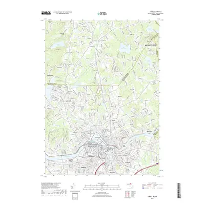
2018 Map of Lowell
USGS Topo · Published 2018About this map
The Merrimack River and Concord River converge in this urban and suburban landscape, anchoring the industrial and cultural heart of Lowell. The city's textile legacy is preserved within the Lowell National Historical Park, where the river network once powered massive mills. Neighborhoods like Centralville, Belvidere, and Pawtucketville surround the city center, which is further defined by the Univ of Massachusetts Lowell and the Middlesex Community College Lowell Campus.
Find a feature on this map
110 named features on this map. Tap any name to fly to it.
Don’t see what you’re looking for? This feature index may not catch every label — zoom into the map to look around manually.
Map Details
Editions of this 2018 Lowell Map
This is the sole edition of this map. No revisions or reprints were ever made.
Other maps of this area

1886 · Lawrence
USGS Topo · 1:62,500

1886 · Lowell
USGS Topo · 1:62,500

1888 · Haverhill
USGS Topo · 1:62,500

1888 · Lawrence
USGS Topo · 1:62,500

1890 · Haverhill
USGS Topo · 1:62,500

1893 · Lowell
USGS Topo · 1:62,500

1893 · Lawrence
USGS Topo · 1:62,500

1893 · Haverhill
USGS Topo · 1:62,500

1905 · Manchester
USGS Topo · 1:62,500

1918 · Lowell
USGS Topo · 1:62,500