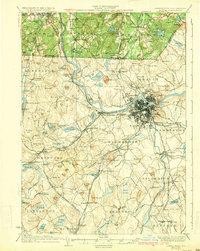
1935 Map of Lowell
USGS Topo · Published 1935About this map
The industrial and transportation hub of Lowell serves as the focal point for this mid-1930s survey, where the Merrimack River powers a dense urban landscape connected by a complex web of iron. The map documents the region's transition from the river-driven mills of Middlesex Village to the agricultural and residential outskirts of Chelmsford and Billerica. A dense network of rail lines, including the Boston and Maine R.R. Lowell Br. and the Stony Brook Railroad, illustrates how vital these corridors were to the movement of goods and people across the New Hampshire Massachusetts state line.
Find a feature on this map
158 named features on this map. Tap any name to fly to it.
Don’t see what you’re looking for? This feature index may not catch every label — zoom into the map to look around manually.
Map Details
Editions of this 1935 Lowell Map
3 editions found
Other maps of this area
1886 · Lawrence
USGS Topo · 1:62,500

1886 · Lowell
USGS Topo · 1:62,500

1886 · Framingham
USGS Topo · 1:62,500

1887 · Marlboro
USGS Topo · 1:62,500
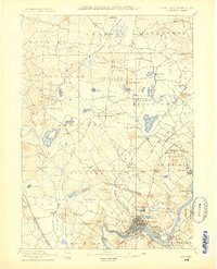
1888 · Haverhill
USGS Topo · 1:62,500
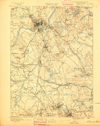
1888 · Lawrence
USGS Topo · 1:62,500

1889 · Marlboro
USGS Topo · 1:62,500

1889 · Framingham
USGS Topo · 1:62,500
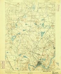
1890 · Haverhill
USGS Topo · 1:62,500
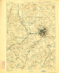
1893 · Lowell
USGS Topo · 1:62,500