Loading...
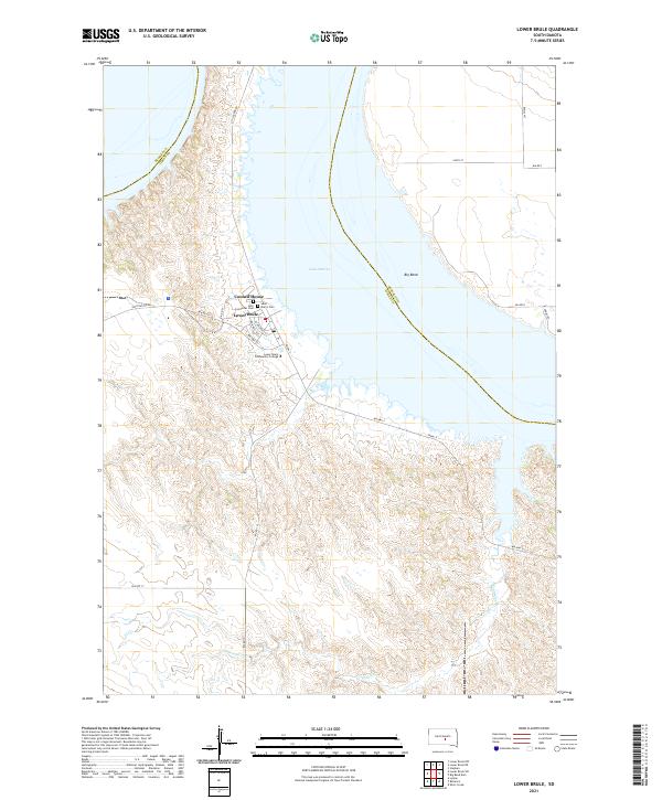
Loading map...2021 Map of Lower Brule
USGS Topo · Published 2021About this map
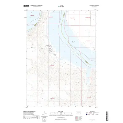
Lower Brule is the primary settlement on this landscape, situated along the western banks of Lake Sharpe. The map details the civic and social foundations of the community, featuring the Council House and educational facilities like the Lower Brule Community College. Religious and genealogical history is anchored by the Holy Comforter Cem and Saint Mary's Cem, both located near the residential core.
Find a feature on this map
33 named features on this map. Tap any name to fly to it.
Don’t see what you’re looking for? This feature index may not catch every label — zoom into the map to look around manually.
Map Details
Date Portrayed2021
Date Published2021
PublisherU.S. Geological Survey
Map TypeTopographic
Scale1:24,000
Physical Dimensions24 x 29 inches
Editions of this 2021 Lower Brule Map
This is the sole edition of this map. No revisions or reprints were ever made.
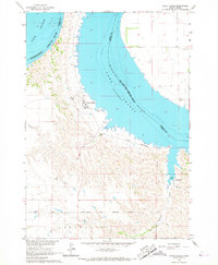
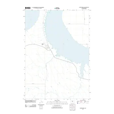
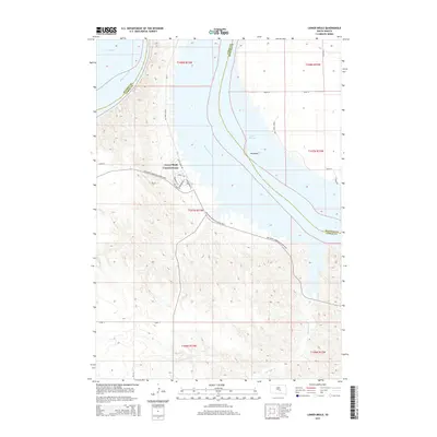
Historical Maps of Big Bend District Through Time
5 maps found
Featured Locations
- Fort Thompson District, SD
- Big Bend District, SD
- Grey Hill West Township, Fort Thompson District
- Victory West Township, Fort Thompson District
- Council House, SD
Source Details
SourceU.S. Geological Survey
CopyrightPublic Domain