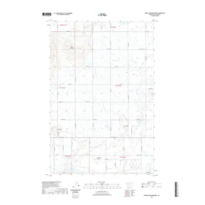
2020 Map of Lower Crow Reservoir
USGS Topo · Published 2020About this map
Lower Crow Reservoir and its surrounding agricultural landscape define this portion of Lake County, where an extensive network of irrigation infrastructure supports the local economy. The map details the complex water management system of the Flathead Indian Reservation, including the Pablo 37 A Canal, Pablo 10 A Canal, and several smaller numbered lateral canals that cut across the prairie. The terrain is marked by distinctive geological features like the Sloan Buttes and the prominent Round Butte, which rise above the surrounding flats. To the northwest, the residential clustering at Valley View Hills provides a contrast to the broad ranchlands. Natural waterways like Crow Cr and Mud Cr meander through the southern sections, while the northern half is dominated by straight-line section roads such as Light Rd and Pablo West Rd, reflecting a landscape heavily shaped by systematic land division and water rights.
Find a feature on this map
59 named features on this map. Tap any name to fly to it.
Don’t see what you’re looking for? This feature index may not catch every label — zoom into the map to look around manually.
Map Details
Editions of this 2020 Lower Crow Reservoir Map
This is the sole edition of this map. No revisions or reprints were ever made.
Other maps of this area

1920 · Flathead Lake
USGS Topo · 1:125,000

1956 · Wallace
USGS Topo · 1:250,000

1960 · Wallace
USGS Topo · 1:250,000

1964 · Buffalo Bridge
USGS Topo · 1:24,000

1964 · East Bay
USGS Topo · 1:24,000

1964 · Fort Connah
USGS Topo · 1:24,000

1964 · Polson
USGS Topo · 1:24,000

1964 · Ronan
USGS Topo · 1:24,000

1964 · Lower Crow Reservoir
USGS Topo · 1:24,000

1965 · Sloan
USGS Topo · 1:24,000