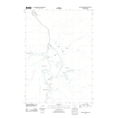
2012 Map of Lower Geyser Basin
USGS Topo · Published 2012About this map
Firehole River carves through this thermal landscape, where the Lower Geyser Basin and Midway Geyser Basin showcase a dense concentration of hydrothermal features. The map illustrates a complex network of springs and geysers, from the thermal waters of Queens Laundry in Sentinel Meadows to the secluded Fountain Patrol Cabin near the Nez Perce Cr confluence. Geologic formations like the Porcupine Hills and Midway Bluff rise above the steaming basins.
Find a feature on this map
82 named features on this map. Tap any name to fly to it.
Don’t see what you’re looking for? This feature index may not catch every label — zoom into the map to look around manually.
Map Details
Editions of this 2012 Lower Geyser Basin Map
This is the sole edition of this map. No revisions or reprints were ever made.
Other maps of this area

1885 · Gallatin
USGS Topo · 1:125,000

1885 · Gallatin
USGS Topo · 1:125,000

1886 · Shoshone
USGS Topo · 1:125,000

1888 · Shoshone
USGS Topo · 1:125,000

1895 · Shoshone
USGS Topo · 1:125,000

1901 · Shoshone
USGS Topo · 1:125,000

1901 · Gallatin
USGS Topo · 1:125,000

1908 · Gallatin
USGS Topo · 1:125,000

1908 · Shoshone
USGS Topo · 1:125,000

1911 · Shoshone
USGS Topo · 1:125,000