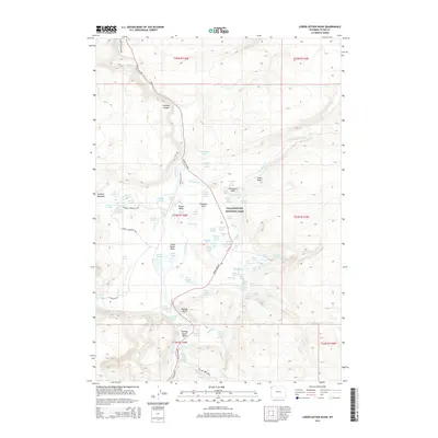
2015 Map of Lower Geyser Basin
USGS Topo · Published 2015About this map
The Lower Geyser Basin within Yellowstone National Park reveals a complex hydrothermal landscape shaped by the Firehole River and its numerous tributaries. This area is characterized by high concentrations of geothermal features, from the Fountain Geyser and Bellefontaine Geyser to expansive thermal areas like Sentinel Meadows and Fountain Flats. The map documents a dense network of springs and pools, including the Queens Laundry, Ojo Caliente Spring, and the Quagmire Group. Transportation through this volatile terrain is primarily facilitated by the Grand Loop Rd and Firehole Canyon Rd, while hikers can navigate more remote sections via the Sentinel Meadows Trail and Imperial Meadows Trail. The presence of features like Midway Bluff and the Porcupine Hills provides topographic context to the basin's thermal activity.
Find a feature on this map
95 named features on this map. Tap any name to fly to it.
Don’t see what you’re looking for? This feature index may not catch every label — zoom into the map to look around manually.
Map Details
Editions of this 2015 Lower Geyser Basin Map
This is the sole edition of this map. No revisions or reprints were ever made.
Other maps of this area

1885 · Gallatin
USGS Topo · 1:125,000

1885 · Gallatin
USGS Topo · 1:125,000

1886 · Shoshone
USGS Topo · 1:125,000

1888 · Shoshone
USGS Topo · 1:125,000

1895 · Shoshone
USGS Topo · 1:125,000

1901 · Shoshone
USGS Topo · 1:125,000

1901 · Gallatin
USGS Topo · 1:125,000

1908 · Gallatin
USGS Topo · 1:125,000

1908 · Shoshone
USGS Topo · 1:125,000

1911 · Shoshone
USGS Topo · 1:125,000