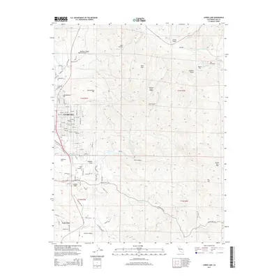
2015 Map of Lower Lake
USGS Topo · Published 2015About this map
Clearlake and Lower Lake anchor this 2015 survey, illustrating the residential expansion of Lake County north of Excelsior Valley. The map details a dense grid of streets north of Redbank Gorge, including Park Place Blvd and numerous numbered avenues, contrasting with the undeveloped terrain of Quackenbush Mtn and Schoolteacher Hill. Water systems define the local geography, with Cache Creek and its North Fork winding through a landscape of canyons such as Blackeye Canyon and Ogulin Canyon.
Find a feature on this map
96 named features on this map. Tap any name to fly to it.
Don’t see what you’re looking for? This feature index may not catch every label — zoom into the map to look around manually.
Map Details
Editions of this 2015 Lower Lake Map
This is the sole edition of this map. No revisions or reprints were ever made.
Other maps of this area

1920 · Venado
USGS Topo · 1:62,500

1924 · Bartlett Springs
USGS Topo · 1:62,500

1942 · Bartlett Springs
USGS Topo · 1:62,500

1943 · Morgan Valley
USGS Topo · 1:62,500

1944 · Bartlett Springs
USGS Topo · 1:62,500

1944 · Wilbur Springs
USGS Topo · 1:62,500

1944 · Morgan Valley
USGS Topo · 1:62,500

1945 · Lower Lake
USGS Topo · 1:62,500

1947 · Santa Rosa
USGS Topo · 1:250,000

1949 · Santa Rosa
USGS Topo · 1:250,000