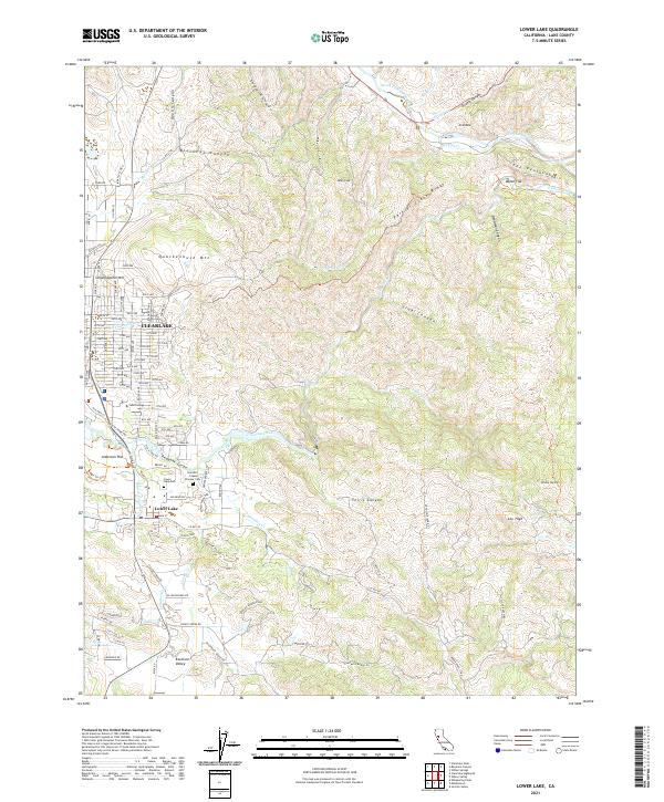
2021 Map of Lower Lake
USGS Topo · Published 2021About this map
The town of Lower Lake and the southern residential grid of Clearlake anchor this landscape where the Cache Creek drainage meets complex mountain terrain. This survey highlights the local transition from the street-numbered blocks of the city to the rural homesteading history of Lake County, marked by the Herndon - Copsey Pioneer Cem and the Lower Lake Cem near the town center. Cache Creek winds through the center of the sheet, carving through Redbank Gorge and passing south of Baton Flat as it heads toward the rugged eastern canyons. Higher elevations are defined by prominent peaks like Quackenbush Mtn and Bally Peak, while the northern portion is marked by the distinctive peninsula-like landform of The Peninsula and the erosion patterns of Al Slides. Educational and civic life is represented by Yuba College and the local Post Office, providing essential reference points for researchers of the region's modern layout.
Find a feature on this map
102 named features on this map. Tap any name to fly to it.
Don’t see what you’re looking for? This feature index may not catch every label — zoom into the map to look around manually.
Map Details
Editions of this 2021 Lower Lake Map
This is the sole edition of this map. No revisions or reprints were ever made.
Other maps of this area

1920 · Venado
USGS Topo · 1:62,500

1924 · Bartlett Springs
USGS Topo · 1:62,500

1942 · Bartlett Springs
USGS Topo · 1:62,500

1943 · Morgan Valley
USGS Topo · 1:62,500

1944 · Bartlett Springs
USGS Topo · 1:62,500

1944 · Wilbur Springs
USGS Topo · 1:62,500

1944 · Morgan Valley
USGS Topo · 1:62,500

1945 · Lower Lake
USGS Topo · 1:62,500

1947 · Santa Rosa
USGS Topo · 1:250,000

1949 · Santa Rosa
USGS Topo · 1:250,000