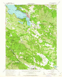
1958 Map of Lower Lake
USGS Topo · Published 1962About this map
Clear Lake dominates the northwest corner of this terrain, its shoreline dotted with developing communities like Clearlake Highlands and Clearlake Park during the late 1950s. The landscape is defined by its hydrothermal and mineral activity, evidenced by the presence of Sulphur Bank Mine and numerous mineral springs and resorts that became regional fixtures. Settlements such as Whispering Pines, Hobergs, and Anderson Springs reflect the area's mid-century identity as a retreat destination nestled within the wooded uplands of Boggs Mountain State Forest.
Find a feature on this map
94 named features on this map. Tap any name to fly to it.
Don’t see what you’re looking for? This feature index may not catch every label — zoom into the map to look around manually.
Map Details
Editions of this 1958 Lower Lake Map
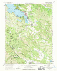
2 editions found
Other maps of this area

1920 · Venado
USGS Topo · 1:62,500

1920 · Healdsburg
USGS Topo · 1:62,500

1921 · Kelseyville
USGS Topo · 1:62,500

1924 · Bartlett Springs
USGS Topo · 1:62,500

1927 · Calistoga
USGS Topo · 1:62,500

1933 · Healdsburg
USGS Topo · 1:48,000

1938 · Lakeport
USGS Topo · 1:62,500

1940 · Healdsburg
USGS Topo · 1:62,500

1942 · Bartlett Springs
USGS Topo · 1:62,500

1942 · St. Helena
USGS Topo · 1:62,500