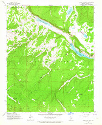
1962 Map of Lower Lake Mary
USGS Topo · Published 1964About this map
Upper Lake Mary and Lower Lake Mary dominate this section of the Coconino National Forest, showing a landscape defined by water management and scientific observation in the early 1960s. High atop Anderson Mesa, the presence of the USGS Observatory and the Perkins Telescope highlights the region's importance for astronomical research, while the surrounding terrain is marked by numerous stock tanks and springs. The map documents the localized human footprint through features like the Coulter Cabin and Lake View Forest Camp, alongside a network of canyons including Newman Canyon and Walnut Creek. This survey records a transition from the rugged grazing lands of Coulter Park to the established recreation and utility infrastructure surrounding the reservoirs, providing a clear view of the area's development before modern expansion.
Find a feature on this map
46 named features on this map. Tap any name to fly to it.
Don’t see what you’re looking for? This feature index may not catch every label — zoom into the map to look around manually.
Map Details
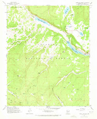
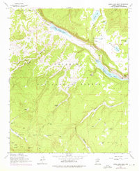
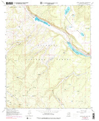
Editions of this 1962 Lower Lake Mary Map
4 editions found
Other maps of this area

1886 · San Francisco Mtns
USGS Topo · 1:250,000

1887 · Verde
USGS Topo · 1:250,000

1891 · San Francisco Mtns
USGS Topo · 1:250,000

1892 · Verde
USGS Topo · 1:250,000

1894 · San Francisco Mtns
USGS Topo · 1:250,000

1899 · San Francisco Mtns
USGS Topo · 1:250,000

1908 · Flagstaff
USGS Topo · 1:125,000

1912 · Flagstaff
USGS Topo · 1:125,000

1923 · Camp Verde
USGS Topo · 1:125,000

1932 · Camp Verde
USGS Topo · 1:125,000