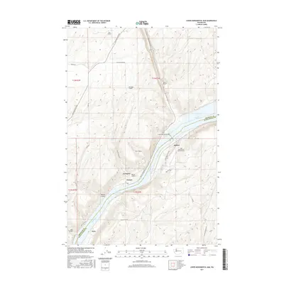
2017 Map of Lower Monumental Dam
USGS Topo · Published 2017About this map
The Snake River carves a deep path through the basalt plateau at the border of Franklin and Walla Walla Counties, anchored by the massive infrastructure of the Lower Monumental Dam. This 2017 survey illustrates a landscape defined by the impounded waters of Lake Sacajawea and Lake Herbert G W, which have transformed the river's original character. Small settlements and transit points like Windust, Farrington, and Matthew are scattered along the steep-walled corridor, connected by roads such as Devils Canyon Rd and Pasco Kahlotus Road. The terrain is marked by dramatic geological formations, including Devils Canyon, Dunnigan Coulee, and Box Canyon, showing the erosional power of the region's drainage patterns. Aviation access is noted through the Lower Monumental State Airport and the remote Hille Airstrip, serving this sparsely populated but infrastructure-critical section of eastern Washington.
Find a feature on this map
31 named features on this map. Tap any name to fly to it.
Don’t see what you’re looking for? This feature index may not catch every label — zoom into the map to look around manually.
Map Details
Editions of this 2017 Lower Monumental Dam Map
This is the sole edition of this map. No revisions or reprints were ever made.
Other maps of this area

1915 · Wallulah
USGS Topo · 1:96,000

1916 · Connell
USGS Topo · 1:125,000

1918 · Connell
USGS Topo · 1:125,000

1918 · Wallula
USGS Topo · 1:125,000

1919 · Walla Walla
USGS Topo · 1:125,000

1921 · Walla Walla
USGS Topo · 1:125,000

1948 · Ayer
USGS Topo · 1:62,500

1950 · Haas
USGS Topo · 1:62,500

1953 · Walla Walla
USGS Topo · 1:250,000

1958 · Walla Walla
USGS Topo · 1:250,000