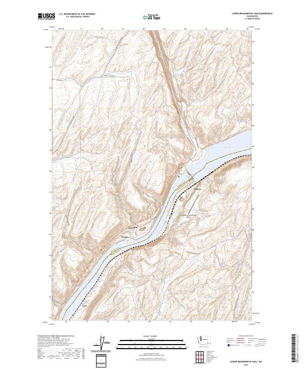
2023 Map of Lower Monumental Dam
USGS Topo · Published 2023About this map
The Snake River carves a deep path through the plateau of southeastern Washington, marking the boundary between Franklin Co and Walla Walla Co. This landscape is defined by its dramatic coulees and drainages, most notably the winding course of Devils Canyon and the steep walls of Box Canyon. Human settlement is concentrated near the river corridor and the rail line, with small localities such as Matthew, Farrington, and Windust serving as points of reference in a largely rural agricultural and transit-oriented landscape.
Find a feature on this map
30 named features on this map. Tap any name to fly to it.
Don’t see what you’re looking for? This feature index may not catch every label — zoom into the map to look around manually.
Map Details
Editions of this 2023 Lower Monumental Dam Map
This is the sole edition of this map. No revisions or reprints were ever made.
Other maps of this area
1915 · Wallulah
USGS Topo · 1:96,000
1916 · Connell
USGS Topo · 1:125,000
1918 · Connell
USGS Topo · 1:125,000
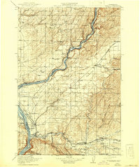
1918 · Wallula
USGS Topo · 1:125,000
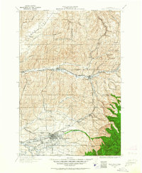
1919 · Walla Walla
USGS Topo · 1:125,000
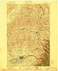
1921 · Walla Walla
USGS Topo · 1:125,000
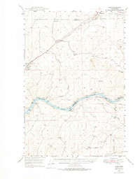
1948 · Ayer
USGS Topo · 1:62,500
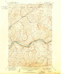
1950 · Haas
USGS Topo · 1:62,500
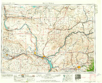
1953 · Walla Walla
USGS Topo · 1:250,000
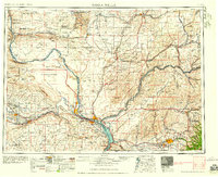
1958 · Walla Walla
USGS Topo · 1:250,000