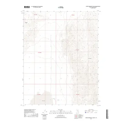
2018 Map of Lower Pahranagat Lake SW
USGS Topo · Published 2018About this map
Desert Lake sits at the base of the Sheep Range, highlighting the arid basin-and-range topography characteristic of this part of southern Nevada. In this 2018 survey, the landscape is defined by the steep elevation changes between the valley floor and the high ridges of the Pahranagat Range. Human presence is sparse, marked primarily by the path of Alamo Rd as it skirts the edge of the mountains. This area serves as a critical point for local water sources in a dry environment, notably featuring Sheep Mountain Spring. The map provides a look at the township and range grid system across several sections, including t10s r61e and t11s r60e, showing how the land was partitioned in this remote corner of Lincoln County.
Find a feature on this map
11 named features on this map. Tap any name to fly to it.
Don’t see what you’re looking for? This feature index may not catch every label — zoom into the map to look around manually.
Map Details
Editions of this 2018 Lower Pahranagat Lake SW Map
This is the sole edition of this map. No revisions or reprints were ever made.
Other maps of this area

1907 · Las Vegas
USGS Topo · 1:250,000

1908 · Las Vegas
USGS Topo · 1:250,000

1945 · Sheep Range
USGS Topo · 1:125,000

1945 · Alamo
USGS Topo · 1:125,000

1954 · Caliente
USGS Topo · 1:250,000

1954 · Las Vegas
USGS Topo · 1:250,000

1957 · Las Vegas
USGS Topo · 1:250,000

1959 · Caliente
USGS Topo · 1:250,000

1959 · Las Vegas
USGS Topo · 1:250,000

1962 · Las Vegas
USGS Topo · 1:250,000