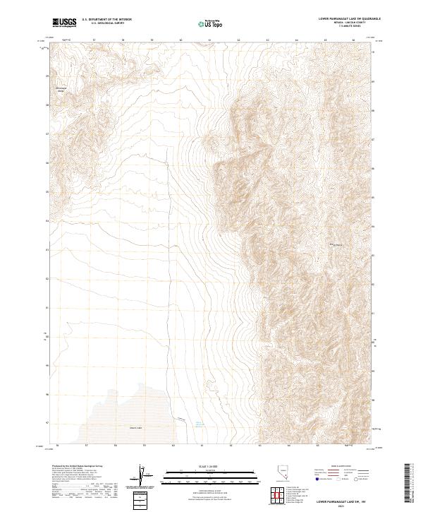
2021 Map of Lower Pahranagat Lake SW
USGS Topo · Published 2021About this map
The high-desert terrain of Pahranagat Range and Sheep Range dominates this landscape in Lincoln County. The map details the arid character of the region, where water sources like Sheep Mountain Spring and the ephemeral Desert Lake provide critical landmarks for those navigating the basin-and-range topography. The western slope of the Sheep Range rises sharply from the valley floor, showing the dramatic elevation changes typical of this part of Nevada.
Find a feature on this map
11 named features on this map. Tap any name to fly to it.
Don’t see what you’re looking for? This feature index may not catch every label — zoom into the map to look around manually.
Map Details
Editions of this 2021 Lower Pahranagat Lake SW Map
This is the sole edition of this map. No revisions or reprints were ever made.
Other maps of this area

1907 · Las Vegas
USGS Topo · 1:250,000

1908 · Las Vegas
USGS Topo · 1:250,000

1945 · Sheep Range
USGS Topo · 1:125,000

1945 · Alamo
USGS Topo · 1:125,000

1954 · Caliente
USGS Topo · 1:250,000

1954 · Las Vegas
USGS Topo · 1:250,000

1957 · Las Vegas
USGS Topo · 1:250,000

1959 · Caliente
USGS Topo · 1:250,000

1959 · Las Vegas
USGS Topo · 1:250,000

1962 · Las Vegas
USGS Topo · 1:250,000