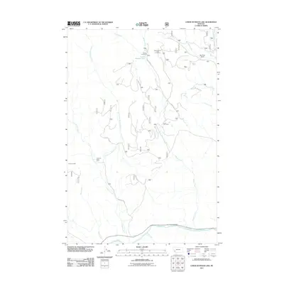
2011 Map of Lower Seymour Lake
USGS Topo · Published 2011About this map
Lower Seymour Lake and the southern reaches of the Anaconda Range define this mountainous region of Montana, where the watershed is dominated by the Big Hole River. This 2011 survey reveals a landscape largely dedicated to outdoor recreation and ranching, featuring the Arcola Scout Camp and several developed sites such as Seymour Campground and Sportsmans Campground. The drainage network is particularly intricate here, with the Bacon Ditch and numerous forks like East Fork La Marche Creek and West Fork Twelvemile Creek carving through the terrain. Evidence of local land use is visible at the La Marche Creek Ranch and Sundance Lodge, while the naming of Bear Trap Gulch speaks to the area's historical character. These features, connected by routes like Seymour Creek Rd, illustrate the intersection of water management and alpine access.
Find a feature on this map
24 named features on this map. Tap any name to fly to it.
Don’t see what you’re looking for? This feature index may not catch every label — zoom into the map to look around manually.
Map Details
Editions of this 2011 Lower Seymour Lake Map
This is the sole edition of this map. No revisions or reprints were ever made.
Other maps of this area

1908 · Philipsburg
USGS Topo · 1:125,000

1947 · Butte
USGS Topo · 1:250,000

1955 · Dillon
USGS Topo · 1:250,000

1957 · Dillon
USGS Topo · 1:250,000

1958 · Butte
USGS Topo · 1:250,000

1958 · Dillon
USGS Topo · 1:250,000

1960 · Butte
USGS Topo · 1:250,000

1962 · Butte
USGS Topo · 1:250,000

1962 · Dillon
USGS Topo · 1:250,000

1962 · Lincoln Gulch
USGS Topo · 1:24,000